Industrial Inspection Drones: Technology, Classification & Application
Drone inspection refers to the technology that deploys unmanned aerial vehicles for aerial visual monitoring. A complete inspection system generally consists of five core components: drone platform, remote controller, communication link, airborne payloads and ground control station.
Classification of Industrial Inspection Drones
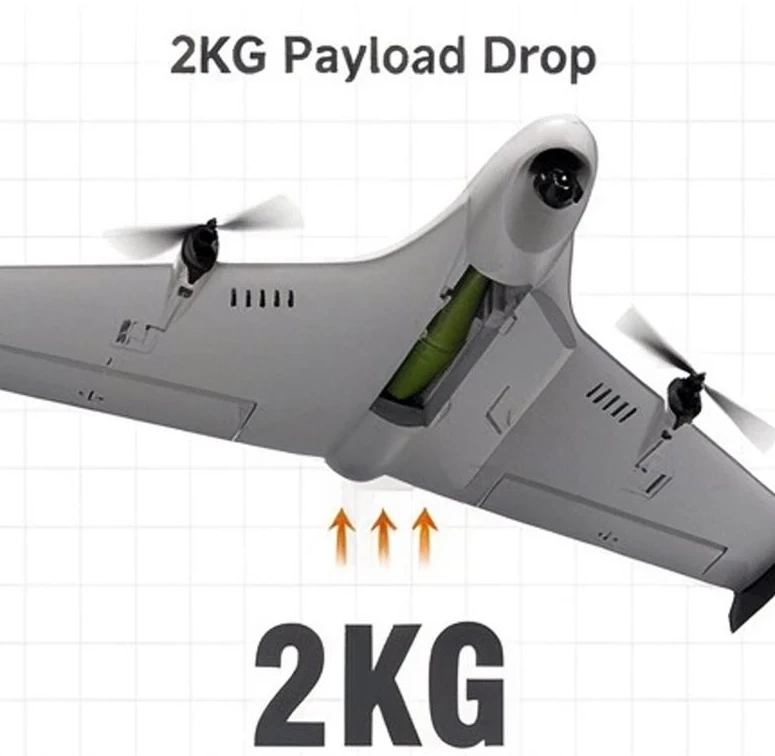
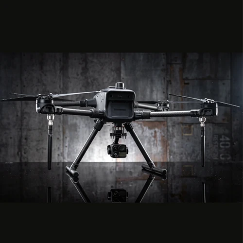
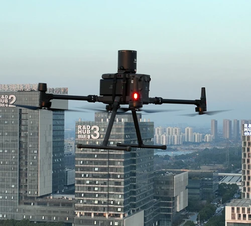
Industrial inspection drones are designed for high-precision, close-range and long-distance inspection of critical infrastructure, including power facilities, wind turbines, photovoltaic farms, oil & gas pipelines, bridges, storage tanks, mines and water conservancy projects. They fall into four main categories: multi-rotor drones for close-up detailed inspection, VTOL fixed-wing drones for large-scale corridor surveys, confined-space specialized drones, and heavy-lift unmanned helicopters.
Hong Kong Intlbit Group Limited supplies the full range of these inspection platforms. Equipped with intelligent swarm coordination technology, our drones achieve autonomous perception, positioning and collaborative operation. The fleet can divide tasks dynamically, lifting overall operational efficiency by more than 60%.
Origins of Drone Inspection Technology
Drone inspection originated in the military sector for reconnaissance and target surveillance. As the technology matured and use cases expanded, it was gradually adapted for industrial scenarios. It enables rapid inspection of high-voltage power lines, large buildings, bridges and pipelines, and has achieved large-scale deployment across power, oil & gas and other industries.
Field Cases of Intlbit Inspection Drones
At the end of 2017, Foshan, Guangdong, launched China's first large-scale refined autonomous drone inspection project. The solution boosted daily productivity in mountainous terrain by approximately 85% compared with manually piloted drones. In 2018, the State Grid Xinjiang Electric Power established its Aerial Inspection Center, the first provincial-level aerial inspection division within the State Grid system, marking the local transition from manual patrol to intelligent inspection.
Our Intlbit 350 series inspection drones have been successfully deployed in both projects. Since then, drone inspection has advanced toward higher intelligence and automation. Integrated with swarm coordination, AI recognition, 5G video transmission, Beidou navigation and digital twin technology, drones have evolved into comprehensive intelligent inspection platforms.
Core Application Sectors
Power Inspection
Drones carry out routine patrols for transmission lines, towers and distribution corridors, as well as infrared temperature measurement. In remote irrigation zones and mountainous power grids, high-definition and thermal payloads allow access to hard-to-reach areas for multi-angle, comprehensive examinations.
Oil & Gas Industry
Drones deliver all-weather, full-coverage inspection for pipelines and offshore drilling platforms, accurately detecting leaks, equipment anomalies and potential hazards.
Photovoltaic Power Plants
Equipped with visible-light cameras, thermal imagers and LiDAR, drones automate large-scale PV farm inspections. The system automatically identifies hot spots, dust accumulation, panel cracks and shading. Inspection data is streamed in real time for AI analysis, improving inspection efficiency 5–10 times.
Inspection, Surveying and Reconnaissance Drones: What Problems Do They Solve?
Many clients confuse inspection, surveying and reconnaissance drones. While some hardware overlaps and certain platforms support multiple missions, their operational objectives, payload configurations, workflows and deliverables differ significantly.
Inspection drones: Focus on detecting anomalies and defects. Deployed along preset routes, they capture sequential close-range imagery of assets and compare footage against historical records to locate faults, damage and hidden risks. Typical payloads include visible-light cameras, thermal gimbals and gas detectors. Outputs include defect reports, annotated snapshots and precise hazard coordinates. They prioritize surface conditions, fine details and temperature readings rather than high-precision 3D models. Common scenarios: power grids, PV plants, pipelines, bridges and wind turbines.
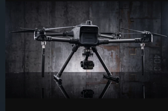
Reconnaissance drones: Prioritize wide-area search and long-range situational awareness. With telephoto gimbals, low-light night vision, infrared sensors and auto-tracking modules, they scan large zones, hover over points of interest and track moving personnel, vehicles or targets to maintain real-time field awareness. Widely used for security, border patrol and emergency response.
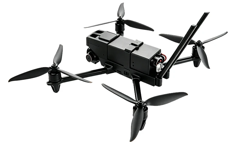
Mapping / surveying drones: Also known as aerial survey drones, they collect geospatial data to reconstruct terrain and objects, delivering accurate coordinates and dimensional measurements. They rely heavily on high-resolution survey-grade cameras and LiDAR, with strict requirements for ground control points and calibration. They do not assess whether equipment is damaged; their core output is the position, size and geometry of features.
Conclusion
A VTOL drone fitted with a thermal gimbal can technically perform long-distance pipeline inspection, aerial mapping and security reconnaissance. However, mission planning, post-processing workflows and acceptance standards remain distinct. Surveying point clouds can support inspection workflows, for example by marking defects on reconstructed 3D models. Reconnaissance missions usually do not require dense point clouds or high-accuracy mapping, and standard inspection tasks often have no need for heavy survey datasets.
That covers the essential differences between the three categories. If you have project challenges that require aerial solutions, Hong Kong Intlbit Group Limited is ready to provide tailored support.